

School Map & Directions
Map
Use the arrows to move left, right, up or down. The + and - buttons 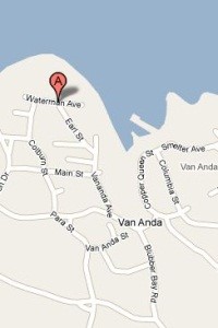 will allow you to zoom in and out. The right hand bar will let you choose between a map image, a satellite view and street map with terrain indicated.
Directions
From the ferry: Drive 9 km until you reach the stop sign. Turn left. Continue down the hill (careful at the junction near the bottom of the hill) - go left at the fork, then drive so that the baseball field remains on your right and Mary Mary's cafe is on your left. Continue on the same road until you reach the school.
To find detailed directions from your address, enter it below, select one of our district schools and click